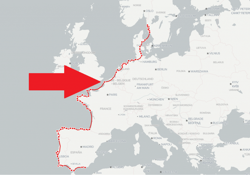
Full route on travellerspoint:
travellerspoint.com/map/#/trip/1129762
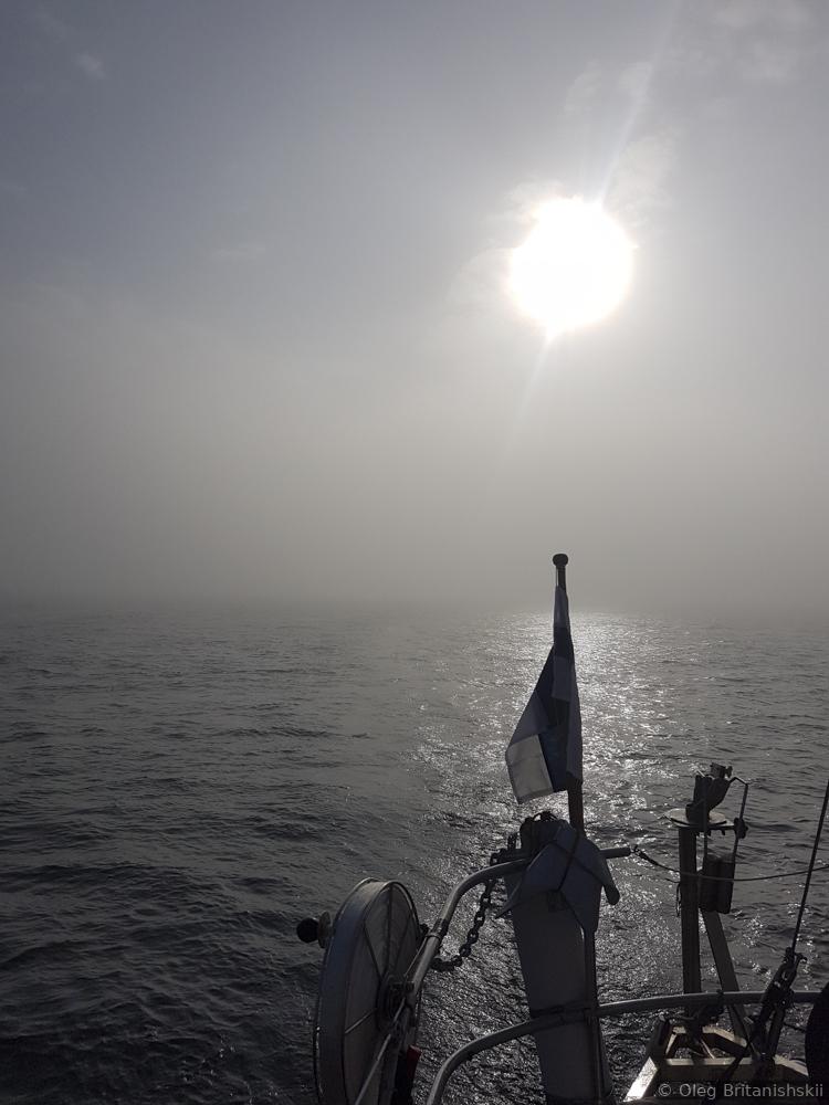
It was a bit scary for me to sail through the English channel. I have read a lot about its currents, tides and fogs. Some sailors even pay someone local for help when passing it. But, when I asked one experienced sailor before English channel how should I pass it? Is it better to go closer to England or to France, he said, that I definitely should go closer to France because of better food and Wine. I was so happy to get this answer! That meant that it is not so dangerous as I thought before.
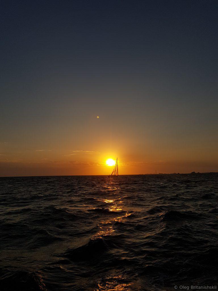
For me English channel was more about experience and not admiring its life and beauty. Tides with water level changes of up to 11 meter, currents of 5+knots, difficult short waves, broken engine on the Channel Islands and sailing without an engine to Saint-Malo through thunderstorms.
It is better to understand tidal waters a little, but with Navionics app or similar, there is nothing difficult. We had all the equipment, ie radar, AIS, maps.
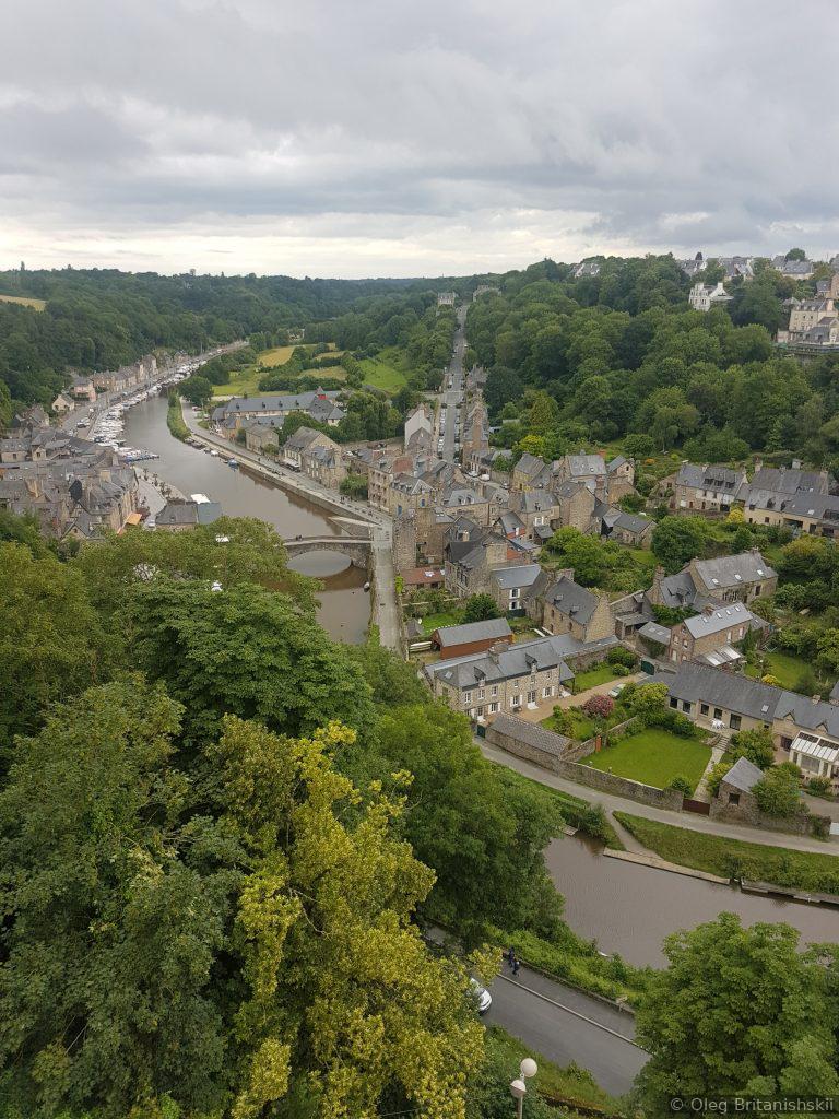
There are really unusual places for a sailor. For instance, ports where you can enter during a short interval of time because the whole area before this port of some square kilometres fills with tidal water for some hours and then totally dries out becoming a land.
When entering french waters you are most probably will be checked by the French coastguard. My friends from Holland were stopped by a ship twice and one time with a helicopter!!! Crazy! 🙂 We were only checked once. A big ship came close to us asking all the information about our trip and crew via the VHF radio.
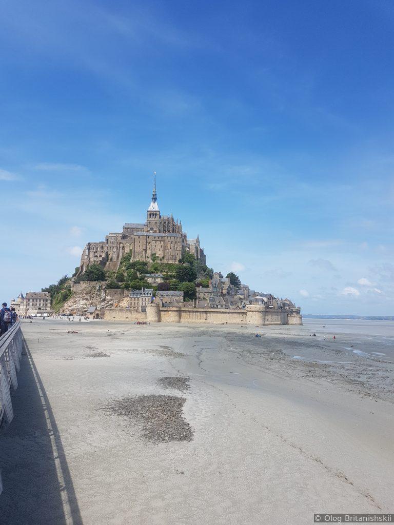
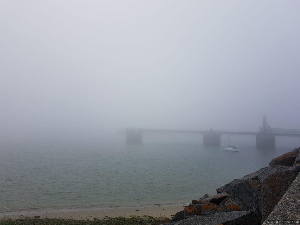
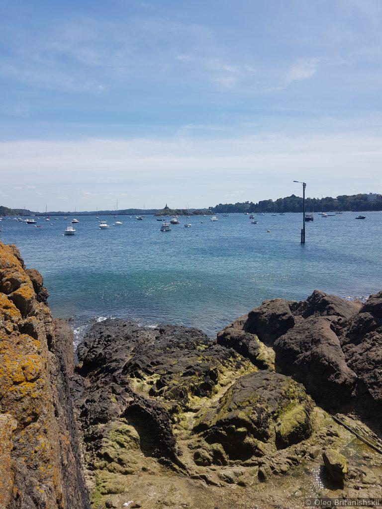
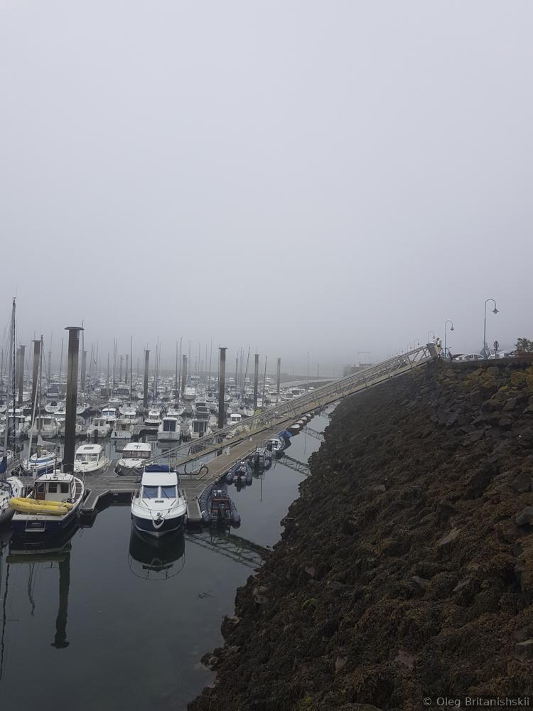
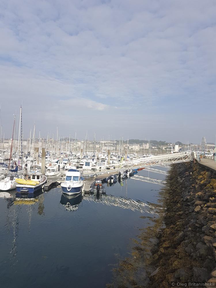
Saint-Malo low tide and high tide
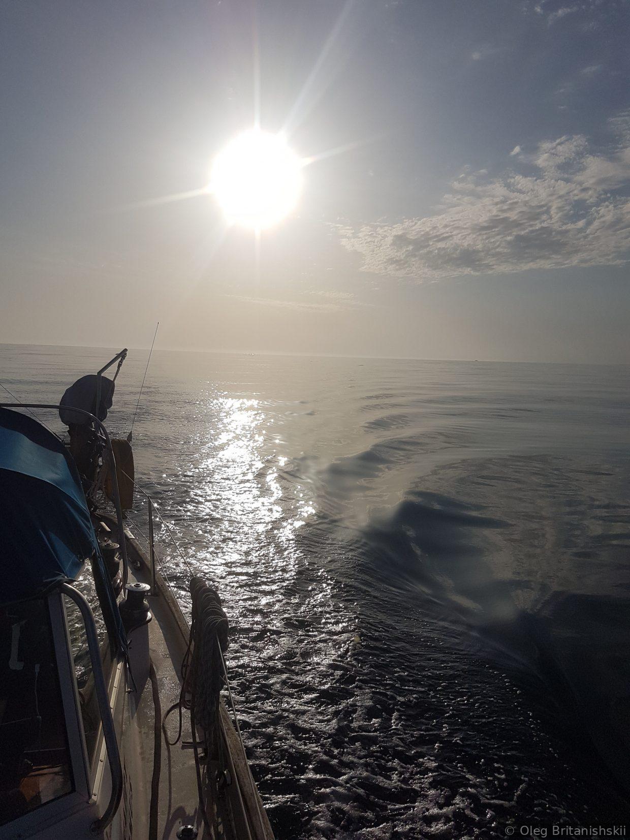
Some uncomfortable waves on the way to Biscay:
Sweden to the Mediterranean route: Sweden – Kiel channel – Wadden Zee, Staande Mast Route (Holland) – English channel – Bay of Biscay – Galicia – Portugal – Gibraltar-Almerimar
Sailboat: Hallberg Rassy Rasmus 35